


Boise Foothills Living: A Relocator's Guide
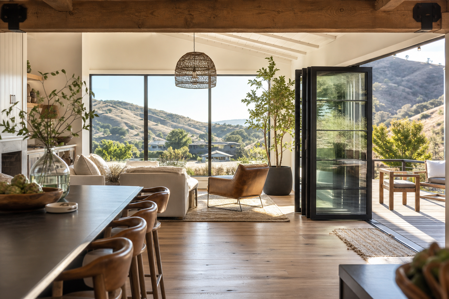
The Boise Foothills offer relocators immediate access to over 190 miles of multi-use trails through the Ridge to Rivers system, woven directly into city neighborhoods. With easy, intermediate, and difficult routes, year-round access on most trails, and ongoing city investment, the foothills are one of Treasure Valley's most compelling lifestyle draws.
Boise Foothills Living: A Relocator's Guide
Why are the Boise Foothills such a draw for people relocating to Treasure Valley?
The Boise Foothills put over 190 miles of multi-use trails within minutes of downtown, woven directly into city neighborhoods through the Ridge to Rivers trail system. With 85 easy, 84 intermediate, and 30 difficult routes, the system accommodates first-time hikers and seasoned mountain bikers alike. It's one of the most tangible quality-of-life advantages Boise offers relocators, and it's a major reason people who move here don't leave.
When I work with clients relocating to Treasure Valley, the foothills come up in almost every conversation. People moving from Seattle, Portland, or the Bay Area aren't just looking for a house, they're looking for a lifestyle. The Boise Foothills deliver that in a way that's hard to replicate anywhere else at this price point in the West.
If you're researching the move, my guide to Relocating to the Treasure Valley: What to Know First covers the broader picture. This post is specifically about what the foothills mean for your daily life once you're here.
What the Ridge to Rivers System Actually Is
The Ridge to Rivers trail system is a multi-agency partnership between the Bureau of Land Management, City of Boise, Ada County Parks and Waterways, Boise National Forest, and Idaho Department of Fish and Game. In total, the system covers over 190 miles of trail in the Boise Hills, with more than 125 miles within Ada County alone.
That scale matters. This isn't a single park with a loop or two. It's a connected network that links residential neighborhoods directly to public lands, so many residents can walk or ride from their front door to a trailhead without loading a car.
The trail mix, by the numbers
According to Visit Boise, the system currently includes:
| Difficulty Level | Number of Trails | Best For |
|---|---|---|
| Easy | 85 trails | Casual walkers, new residents, all fitness levels |
| Intermediate | 84 trails | Regular hikers, mountain bikers, trail runners |
| Difficult | 30 trails | Experienced hikers and riders seeking elevation and challenge |
The system is designed for hikers, mountain bikers, and horseback riders. Multi-use paths are the norm, not the exception, which is something newcomers should understand before their first outing.
Higher elevation, same system
About 50 miles of Ridge to Rivers trails are Shafer Butte trails, located near Bogus Basin at approximately 7,000 feet elevation. That means when the lower foothills feel warm in July and August, you have genuine mountain terrain within the same trail network. That range of micro-climates, from city-adjacent foothills to high alpine, is one of the things that sets Boise apart from other Western metros.
A system that's actively growing
This isn't a static amenity. In April 2025, the City of Boise began construction on a new dedicated mountain biking trail in the foothills, with a project budget of approximately $150,000. That followed a March 2024 announcement of plans for two additional new trails, targeted for completion by end of September 2025. Visit Boise also notes that Ridge to Rivers operates one of the only full-time trail crews in the United States, a detail that tells you a lot about how seriously the city takes this asset.
The Ridge to Rivers 2025 Trail User Survey has been completed, with results available, continuing the partnership's practice of actively gathering resident feedback to guide improvements.
Neighborhood Access and What It Means for Where You Live
One of the most practical questions I get from relocating clients is: "Which neighborhoods actually put me close to the trails?" The honest answer is that proximity varies a lot, and it's worth thinking through before you commit to a specific area.
The Foothills East Reserve, a 240-acre natural area at 1220 E. Shenandoah Dr., is a good example of how open space is embedded in Boise's residential fabric. It's open sunrise to sunset with trail access that starts directly from neighborhood streets in northeast Boise. Areas near Military Reserve, Harrison Hollow, and Hillside to Hollow connect directly to North End and central Boise neighborhoods, residents there can reach trailheads on foot or by bike.
The Hawkins Range Reserve, off N. Bogus Basin Road, adds a higher-elevation option with the 5.7-mile Hawkins Loop and 0.6-mile Harrow Trail. It's a step up in terms of both elevation gain and drive time from the city core, but it's still within Boise's open space system.
If foothills access is a priority for you, the neighborhood decision matters. I walk every relocating client through this tradeoff, proximity to trails, commute patterns, price point, and what's actually available in inventory right now. For a broader look at how the cities in the valley compare on these dimensions, my post on how Boise, Meridian, and Eagle really compare is a good place to start.
Seasonal Realities: What Newcomers Get Wrong
Here's something that surprises almost every relocator: the Boise Foothills are not fully open year-round. The trail system is actively managed, and seasonal closures are a real part of life here.
According to the City of Boise's December 2025 seasonal closure update, specific trails and reserves close on recurring annual schedules:
- Landslide Loop Trail #70 (above Hidden Springs): closed December 1 through March 31 to protect wintering wildlife.
- Hawkins Range Reserve (off N. Bogus Basin Road): the full reserve closes December 1 through April 30 for habitat and wildlife corridor protection.
- 8th Street Extension Road: closed to vehicles from the 8th Street Motorcycle Trailhead to Boise Ridge, December 1 through May 15.
Beyond scheduled closures, the Idaho Statesman reported in March 2026 that many foothills trails run through clay-heavy soils. Using them when wet creates deep ruts that dry into permanent damage. That's why the Ridge to Rivers partnership also enacts temporary closures on trails like Ridge Crest Trail #20 and Old Pen Trail #15A during muddy conditions.
The practical takeaway for newcomers: check the Ridge to Rivers real-time trail condition report and interactive map before heading out, especially between November and April. This is part of living like a local here, respecting closures isn't just a rule, it's how the community protects a system that took decades to build.
The Fall 2024 Ridge to Rivers trail user survey gathered 2,656 responses and showed that all-weather trail surfaces ranked as the top priority among users (scoring 4.89 on a weighted scale), with long trail length close behind at 4.77. The city responded with real improvements: the 2024 survey results document the widening of Harrison Hollow Loop Trail and conversion of its surface to all-weather tread, specifically to expand accessible four-season use in Hillside to Hollow Reserve. The city is listening and investing, which matters for anyone planning their life around this system.
The lower foothills above the city often stay accessible through much of winter when conditions are dry or frozen. Higher-elevation routes near Shafer Butte and Bogus Basin offer cooler summer escapes and late-season snow. Understanding that seasonal rhythm, and working with it rather than against it, is part of what makes foothills living genuinely rewarding here.
Your specific home search will depend on which trailheads matter most to you, what your commute looks like, and what's realistic in your price range right now. That's exactly the kind of conversation I have with every relocating client before we start looking at listings.
If you're ready to explore what's available, get your free home valuation or reach out to start the conversation.
I'd love for you to read what my past clients have to say about working with me on Google and Zillow.
Frequently Asked Questions
What is the Ridge to Rivers trail system, and how many miles of trails does Boise have?
Ridge to Rivers is a multi-agency partnership between the Bureau of Land Management, City of Boise, Ada County Parks and Waterways, Boise National Forest, and Idaho Department of Fish and Game. The system covers over 190 miles of trail in the Boise Hills total, with more than 125 miles within Ada County. It includes 85 easy, 84 intermediate, and 30 difficult trails designed for hikers, mountain bikers, and horseback riders.
How close are the Boise Foothills trails to downtown and popular neighborhoods?
Many trailheads sit directly above or adjacent to residential neighborhoods, particularly in North End, northeast Boise, and areas near Military Reserve and Harrison Hollow. Residents in these neighborhoods can often reach trailheads on foot or by bike without driving. Proximity varies by neighborhood, so if foothills access is a priority, it's worth mapping specific trailheads against the areas you're considering.
Are the Boise Foothills trails open year-round, or are there seasonal closures?
Most trails are accessible year-round, but specific trails and reserves close on annual schedules to protect wildlife and prevent trail damage. For example, Hawkins Range Reserve closes December 1 through April 30, and Landslide Loop Trail #70 closes December 1 through March 31. Additional temporary closures apply during muddy conditions on clay-heavy trails. The City of Boise publishes a real-time trail condition map, checking it before heading out in late fall through early spring is standard practice here.
Are the Boise Foothills trails beginner-friendly, or mostly steep and advanced?
The system has a wide range of options. According to Visit Boise, 85 trails are rated easy, 84 intermediate, and 30 difficult, so beginners have plenty of accessible routes to start with. Many easy trails in the lower foothills are also among those with all-weather surfaces, making them the most reliably accessible options in shoulder seasons.
Can I mountain bike in the Boise Foothills?
Yes, mountain biking is a core use of the Ridge to Rivers system. The City of Boise invested approximately $150,000 in a new dedicated mountain biking trail that began construction in April 2025, adding to existing options across the network. Some trails are directional or downhill-only for bikes, and certain routes close seasonally to protect constructed features, so checking current conditions and trail designations before riding is important.
About Tracie McDonald
Tracie McDonald is a Realtor in Meridian, Idaho specializing in relocation, luxury homes, and new construction. With 15 years of experience and over $225 million in closed sales, she has helped more than 550 families buy and sell homes across Meridian, Boise, and Eagle, Idaho. Tracie has ranked in the Top 100 MLS agents for seven years running, was named Top 50 in Boise Real Producers in 2025, and Top 500 in 2026. She is a Certified Professional Real Estate Negotiator, a Certified Luxury Home Agent, and an Accredited Buyer's Agent. Whether you are relocating, buying a home, or selling a home, Tracie brings the experience and credentials to guide you through it with clarity and care.
Homes of Idaho · 541-480-9090
Check out this article next
Star & Meridian First-Time Buyer Guide 2026
Is Star or Meridian a good place to buy your first home in 2026?Both Star and Meridian are solid options for first-time buyers in Treasure…
Read Article